Floodplain Management
The Federal Emergency Management Agency (FEMA) identifies and maps flood-prone areas to establish flood-risk zones as part of the National Flood Insurance Program (NFIP). Flood insurance requirements and rates are then based off of the NFIP maps. The main factor on the NFIP maps affecting homeowners and developers is the Base Flood Elevation (BFE). The BFE represents the elevation that flood waters can reach based on the 1-percent-annual-chance flood (or 100-year flood), also known as the Special Flood Hazard Area (SFHA). The term "100-year flood" can be misleading, but it means that every year there is a 1% chance that a flood of this magnitude will occur. Statistics have shown that a structure located in the 100-year flood zone has a 26% change of being flooded over the course of a 30-year mortgage. Since the flood maps were created for the entire country, they are based on data at a large scale which means they may inadvertently include various properties that are actually above the BFE.
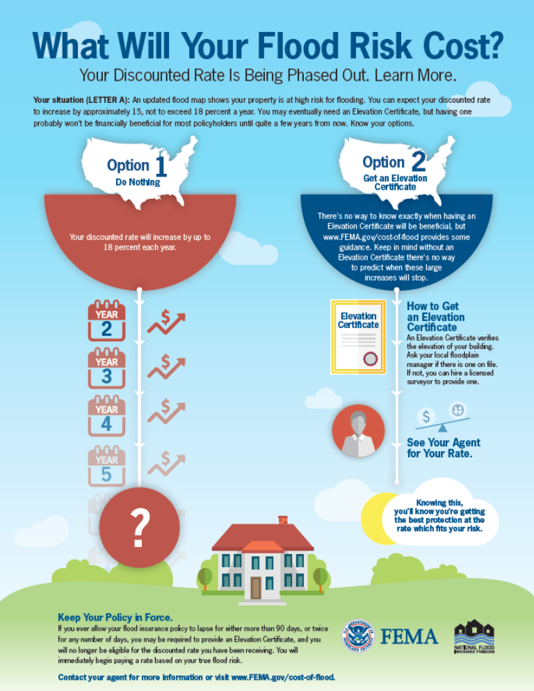
Cornerstone Engineering, Inc. can check the actual elevations of your structure and property to evaluate whether you are actually located in a SFHA. We certify the elevations of your structure or property by providing an Elevation Certificate which can be provided to an insurance carrier to determine your flood insurance rate. If the elevations of a structure or property turn out to be above the BFE, then Cornerstone Engineering can apply for a Letter Of Map Amendment (LOMA) from FEMA on the Owner's behalf which will remove the structure or property from the SFHA and thus remove the obligation of carrying flood insurance.
If you have received this letter from FEMA, please call us to discuss how we can serve you.

Copyright © 1994- Cornerstone Engineering, Inc. - All Rights Reserved
